
March 25, 2024
- 10 min read
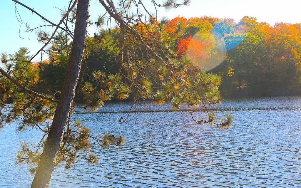
Welcome to Butterfly Lake! This tranquil and beautiful lake is conveniently located just minutes away from Port Carling, at the intersection of Highway 118 West and Muskoka District Road 169.
There are plenty of activities to enjoy at Butterfly Lake. Relax on your private dock and bask in the sun’s warmth during the day, or gather around the fire pit in the evening with your loved ones and sip on a cold beverage. The area is full of stunning natural scenery and wildlife, making it the perfect place for a leisurely stroll along Butterfly Road.
For those seeking adventure, Butterfly Lake offers excellent boating opportunities. With a healthy fish population that includes northern pike, smallmouth bass, yellow perch, and largemouth bass, anglers will be thrilled to drop their lines and see what they can catch. Water sports enthusiasts can explore the tiny inlets that are part of Butterfly Lake all day long, but an early morning canoe or kayak trip is particularly enchanting when you can witness the breathtaking Muskoka sunrise from Whites Island.
Even in the colder months, Butterfly Lake remains serene and fun. Nearby snowmobile trails provide easy access to one of Muskoka’s best winter pastimes, and there are plenty of activities to enjoy at Huntsville’s Deerhurst and Hidden Valley Resorts, including snowshoeing, skiing, skating, and winter disk golf.
No matter the season, a trip to picturesque Port Carling is a must. Explore the numerous shops and restaurants and find everything you need, from delicious meals to trendy gifts for your loved ones back home. If you’re interested in owning a cottage at Butterfly Lake, please don’t hesitate to contact us today.
| Location | |
|---|---|
| Official Name | Butterfly Lake |
| County/District | Muskoka |
| Municipality | Township of Muskoka Lakes |
| Drainage Basin | Lake Muskoka |
| Latitude/Longitude | 45.08944 N 79.63028 W |
| Physical Features | |
|---|---|
| Surface Area (km) | 0.65 |
| Elevation (m asl) | 223 |
| Mean Depth (m) | 4 |
| Maximum Depth (m) | 6 |
| Perimeter (km) | 5 |
| Island Shoreline (km) | 0.2 |
| Clarity (m) | 3.4 |
| Land Use and Development | |
|---|---|
| Crown Land (%) | 0 |
| Provincial Parks | none |
| Shoreline Development | high; commercial, shoreline residential |
| Access | private; informal public access may be possible roadside from Hwy 169 or Hwy 118 |
| Water Level Management | not regulated |
| Fish Species | |
|---|---|
| Major Fish Species | northern pike, smallmouth bass, yellow perch, largemouth bass |
Other Fish Species | brown bullhead, rock bass, white sucker, golden shiner, bluntnose minnow, pumpkinseed |