
March 25, 2024
- 10 min read
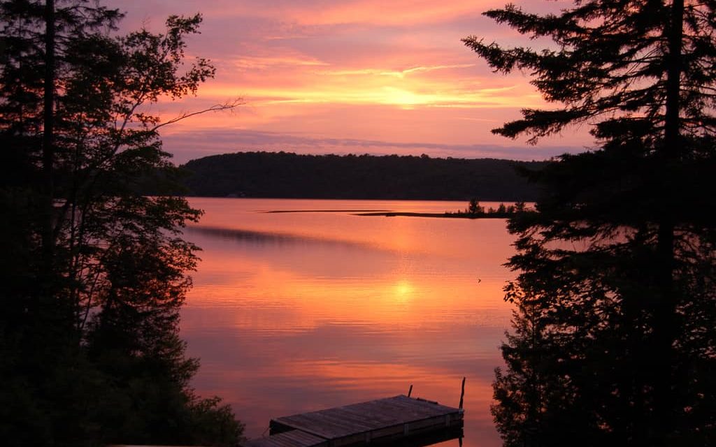
Are you daydreaming about owning a cottage by the lake where you can relax while sipping coffee and enjoying breathtaking views? Lake Cecebe in Almaguin, just west of the village of Burk’s Falls, might be the perfect spot for you. With a surface area of over 7 km2 and over 30 km of shoreline, this lake has a unique shape and offers plenty of opportunities for fun and exciting activities.
Lions Park is a fantastic park located on Lake Cecebe that features a playground, picnic tables, a beach, and a dock area. It’s ideal for meeting up with friends or spending a family day out. The sandy bottom of the lake makes swimming delightful, and fishing enthusiasts can catch several species of fish, including rainbow trout, brook trout, lake trout, pickerel, smallmouth bass, and yellow perch. Boaters can launch their boats at Port Carmen Marina on the north end of the lake.
Lake Cecebe is perfect for water sports and boating of all kinds. Paddle around Gordon Island on a canoe or kayak, or try your hand at stand-up paddleboarding near Clifton Island when the wind is calm. If you need a break from the water, the small bays surrounding the lake are perfect for swimming. After a relaxing day on the lake, head to nearby Magnetawan or Burk’s Falls for groceries, local food trucks, and more.
If you’re looking for organized events on the lake, check out The Cecebe Waterways Association. The group hosts several fun gatherings and competitions throughout the seasons, including the annual golf tournament, poker run, and Regatta. The Les Naftel Golf Tournament in July at The Ridge Golf Course in Sundridge is an excellent chance for cottagers and guests to get together for fun on the links. The Annual Regatta and Poker Run, scheduled over the summer, offer family-friendly fun in and on the water, featuring swim, canoe/kayak, sailing races, a highly competitive triathlon, and more.
If you’re interested in owning a home on the shore of Lake Cecebe, contact us, and we’ll help you find your perfect spot.
| Location | |
|---|---|
| Official Name | Lake Cecebe |
| County/District | Parry Sound |
| Municipality | Municipality of Magnetawan Township of Ryerson |
| Drainage Basin | Magnetawan River |
| Latitude/Longitude | 45.641 N 79.582 W |
| Physical Features | |
|---|---|
| Surface Area (km) | 7.70 |
| Elevation (m asl) | 280 |
| Mean Depth (m) | 5 |
| Maximum Depth (m) | 19.5 |
| Perimeter (km) | 32.2 |
| Island Shoreline (km) | 3.7 |
| Clarity (m) | 2.8 |
| Land Use and Development | |
|---|---|
| Crown Land (%) | 1 |
| Provincial Parks | none |
| Shoreline Development | high; shoreline residential |
| Access | public; 2 boat launches off Hwy 520 |
| Water Level Management | regulated; water level is controlled by an MNR owned and operated dam; flows and levels are managed in accordance with the Magnetawan River Operating Plan |
| Fish Species | |
|---|---|
| Major Fish Species | walleye, smallmouth bass, sauger, largemouth bass, lake whitefish, northern pike |
Other Fish Species | rock bass, yellow perch, pumpkinseed, cisco, burbot, trout-perch, brown bullhead, logperch, white sucker, bluntnose minnow, rainbow smelt, emerald shiner, golden shiner, spottail shiner |