
March 25, 2024
- 10 min read
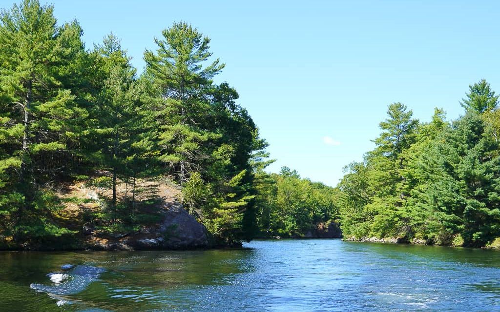
Nestled in Georgian Bay and Muskoka Lakes, Moon River flows from Lake Muskoka in Bala through a series of portages and eventually out to Georgian Bay.
There are plenty of activities to enjoy along the river’s eight kilometers of navigable water, including hidden coves for paddlers and larger bays for water skiing and wakeboarding. The shores boast natural sandy beaches, Precambrian rock shelves, and dramatic granite cliffs.
Late spring to early fall is the perfect time to cruise along the shoreline, drop your fishing rod into the water, and reel in northern pike, smallmouth bass, or largemouth bass.
Visitors can lounge around Moon River Falls or Bala Falls, taking a dip in the calm waters or basking on the rocks to soak up the sun. A quick hike while taking in the sights and sounds is also a fantastic idea. Moon River offers calm, clean water for swimming or sailing, with large bays and smaller coves on the north and south ends of the river.
Woods Bay in the north is an excellent choice for an entry point before Georgian Bay’s more prominent open waters. Visitors can launch their boats from Woods Bay Marine or Moon Bay Marine and sail around Fritz Island or check out Moon River Bay. No visit to the river would be complete without a look at the Moon River Chutes, which are genuinely magnificent and relaxing.
The Moon River Properties Association is dedicated to preserving the quality of life on the water and celebrating with fun events such as a Father’s Day Fishing Derby, a Dock Dress Up Competition, an annual summer Regatta, and a Golf Tournament at The Fairways at Kirrie Glen. These events offer a healthy dose of friendly competition and camaraderie.
Whether you are looking to visit or invest in property on Moon River, there are so many great reasons to explore the area and enjoy the natural beauty it has to offer.
| Location | |
|---|---|
| Official Name | Moon River |
| Local Name | Bala Reach |
| County/District | Muskoka |
| Municipality | Township of Muskoka Lakes |
| Drainage Basin | Moon River, Musquash River |
| Latitude/Longitude | 45.025 N 79.642 W |
| Physical Features | |
|---|---|
| Surface Area (km) | 3.07 |
| Elevation (m asl) | 225 |
| Mean Depth (m) | |
| Maximum Depth (m) | |
| Perimeter (km) | |
| Island Shoreline (km) | |
| Clarity (m) |
| Land Use and Development | |
|---|---|
| Crown Land (%) | 10 |
| Provincial Parks | none |
| Shoreline Development | high |
| Access | public; boat launch and public docks in Bala |
| Water Level Management | regulated; water level is controlled by Ontario Power Generation owned and operated dams at Swift Rapids Generating Station and Moon River control dam; flows and levels are governed by the Muskoka River Water Management Plan |
| Fish Species | |
|---|---|
| Major Fish Species | northern pike, smallmouth bass, largemouth bass, black crappie, walleye |
Other Fish Species | brown bullhead, emerald shiner, hornyhead chub, logperch, longnose dace, pumpkinseed, rock bass, white sucker, yellow perch, rainbow smelt |