
March 25, 2024
- 10 min read
If you’re looking to purchase a cottage in Muskoka, Muldrew Lake is a fantastic choice. It’s conveniently located just fifteen minutes away from Gravenhurst and provides a wonderful cottage experience with easy access to a wide range of amenities. The lake was named after Dr. William Hawthorne Muldrew, who was the first principal of Gravenhurst High School and the second person to own a cottage on the lake.
Muldrew Lake is a single body of water, allowing visitors to explore every inch of it. It’s divided into three sections: South, Middle, and North Muldrew Lake. If you’re interested in boating, there’s a boat launch available near the North end of the lake on Indian Landing Road.
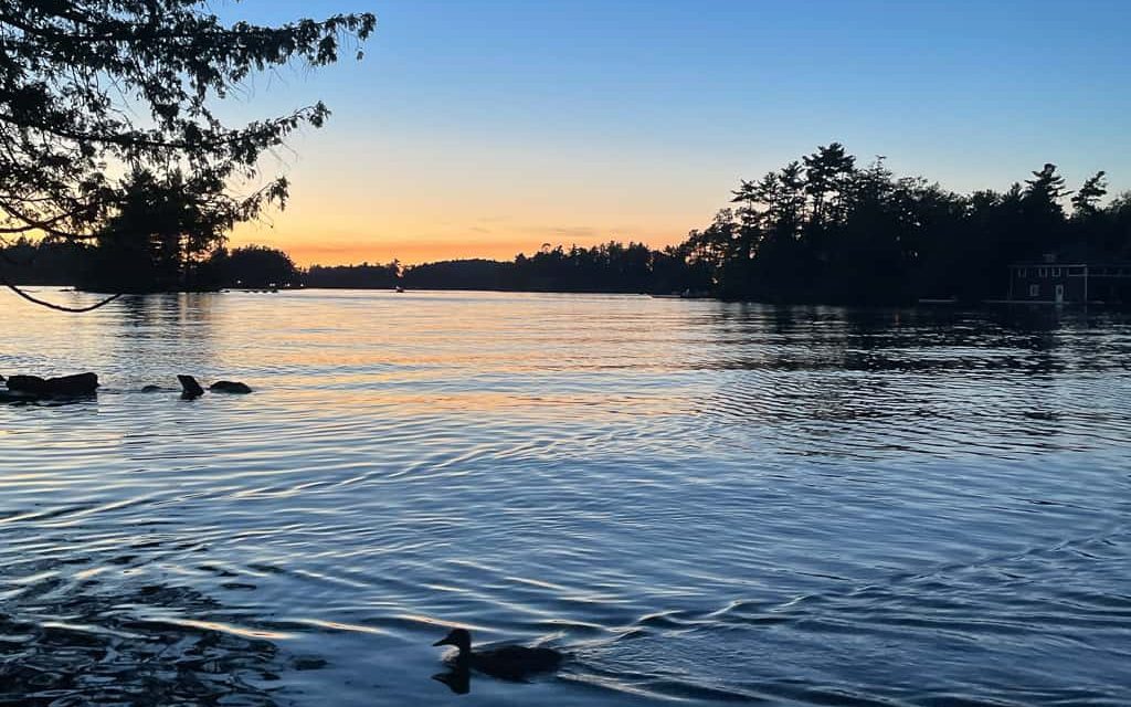
The lake boasts a long shoreline with breathtaking views, perfect for touring in a boat, kayak, or canoe. If you’re in the mood to venture into town, you can visit the Muskoka Steamship and Discovery Centre in Gravenhurst, where you can view exhibits or take a cruise on a historic ship. Alternatively, you can play a few rounds of golf at the Muskoka Bay Golf Course, which is rated as one of the top 10 courses in Canada.
Muldrew Lake has its own cottagers’ association, making it easy to become a part of the community and stay informed about local events. The association hosts a wide range of events, including the ever-popular annual regattas that were recently revived. Last summer, after a brief pause due to the pandemic, The Cottagers’ Association once again hosted both the Annual Swim/Canoe Regatta and the Sailing Regatta. They also introduced the Muldrew Lakes Slalom Tournament, which was a new addition this year. All activities on the lake, including these events, are open to everyone, including guests.
| Location | |
|---|---|
| Official Name | Muldrew Lake |
| Local Names | North, Middle and South Muldrew Lake; Leg Lake |
| County/District | Muskoka |
| Municipality | Town of Gravenhurst |
| Drainage Basin | Severn River |
| Latitude/Longitude | 44.9000 N 79.4428 W |
| Physical Features | |
|---|---|
| Surface Area (km) | 4.20 |
| Elevation (m asl) | 229 |
| Mean Depth (m) | 7 |
| Maximum Depth (m) | 18 |
| Perimeter (km) | 46 |
| Island Shoreline (km) | 8 |
| Clarity (m) | 2.8 |
| Land Use and Development | |
|---|---|
| Crown Land (%) | 15 |
| Provincial Parks | none |
| Shoreline Development | intense; shoreline residential, commercial |
| Access | public; via North Muldrew Lake Road |
| Water Level Management | regulated; water level is control by an MNR owned and operated dam; flows and levels are managed in accordance with the dam operating plan |
| Fish Species | |
|---|---|
| Major Fish Species | smallmouth bass, largemouth bass, northern pike, black crappie |
Other Fish Species | yellow perch, cisco (lake herring), pumpkinseed, white sucker, brown bullhead rock bass |