
March 25, 2024
- 10 min read
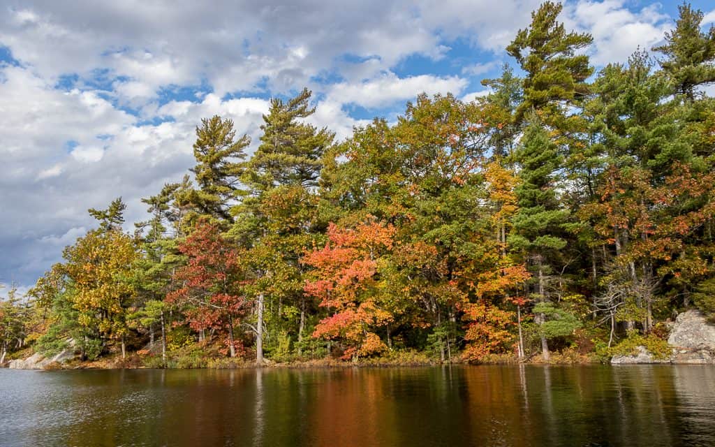
Welcome to Sand Lake, nestled in the heart of the Almaguin Highlands, just 10 kilometers from Kearney and 30 kilometers from Burk’s Falls. Despite its name, the lake’s shore is mostly rocky due to runoff water erosion, but there are still sandy spots around the shallow waters.
If you’re lucky enough to find one of these sandy areas, take advantage of it for a relaxing day soaking up the sun. However, expect these spots to be busy with other swimmers.
For fishing enthusiasts, Sand Lake is home to several fish species, including lake trout, whitefish, brook trout, northern pike, rainbow trout, burbot, smallmouth bass, and largemouth bass. Boaters can take advantage of the public launch on Boat Ramp Road, off Highway 518, for easy access to the lake. If water sports are more your style, Sand Lake is ideal for water skiing, tubing, and wakeboarding. Alternatively, enjoy the clear blue waters with a canoe or kayak and explore Blueberry Island or Emerald Island for some breathtaking views.
After a day on the lake, head to nearby Katrine to play a round of golf at the Almaguin Highlands Golf & Country Club or dine at the Red Canoe Restaurant patio at the Edgewater Park Lodge on the north side of the lake. With so many activities and attractions nearby, Sand Lake is the perfect choice for your next vacation.
| Location | |
|---|---|
| Official Name | Sand Lake |
| County/District | Parry Sound |
| Municipality | Town of Kearney |
| Drainage Basin | Magnetawan River |
| Latitude/Longitude | 45.6272 N 79.1719 W |
| Physical Features | |
|---|---|
| Surface Area (km) | 5.80 |
| Elevation (m asl) | 339 |
| Mean Depth (m) | 22 |
| Maximum Depth (m) | 59 |
| Perimeter (km) | 12.2 |
| Island Shoreline (km) | 0.5 |
| Clarity (m) | 5.0 |
| Land Use and Development | |
|---|---|
| Crown Land (%) | 0 |
| Provincial Parks | none |
| Shoreline Development | high; shoreline residential, commercial |
| Access | public; public launch off Hwy 518 |
| Water Level Management | not regulated |
| Fish Species | |
|---|---|
| Major Fish Species | lake trout, lake whitefish, brook trout, northern pike, rainbow trout, burbot, smallmouth bass, largemouth bass |
Other Fish Species | rainbow smelt, white sucker, yellow perch, cisco (lake herring), rock bass |