
March 25, 2024
- 10 min read
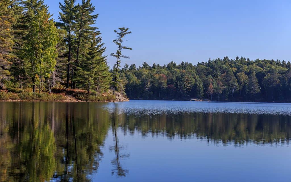
Welcome to Wood Lake, an ideal location for your vacation home just a short drive away from the historic town of Bracebridge. Tucked away, the lake offers privacy while still being accessible right off Highway 118.
Summer is the perfect time to enjoy the outdoors, and Wood Lake offers a variety of activities to try. Take a dip in the water at Fox Point Beach or Wood Lake Beach, or unwind with a yoga class at Caribou Lodge. For the more adventurous, kayaking, canoeing, water skiing, and wakeboarding are all great ways to enjoy the water.
Anglers will also find Wood Lake to be a great spot for fishing. The lake is primarily home to smallmouth and largemouth bass and walleye, with the latter being the object of a new Catch and Release Program by the Wood Lake Cottager’s Association (WLCA). The WLCA also organizes regattas to showcase various summer activities and is passionate about keeping the water and environment beautiful and healthy.
Whether you’re a visitor or cottage owner, the WLCA’s website provides a wealth of information on how to enjoy Wood Lake safely and sustainably. So why not make Wood Lake your home away from home? Let us help you find the perfect cottage for your next vacation.
| Location | |
|---|---|
| Official Name | Wood Lake |
| County/District | Muskoka |
| Municipality | Town of Bracebridge |
| Drainage Basin | South Muskoka River |
| Latitude/Longitude | 45.012 N 79.074 W |
| Physical Features | |
|---|---|
| Surface Area (km) | 3.85 |
| Elevation (m asl) | 301 |
| Mean Depth (m) | 5 |
| Maximum Depth (m) | 14 |
| Perimeter (km) | 13.7 |
| Island Shoreline (km) | 5.8 |
| Clarity (m) | 4.2 |
| Land Use and Development | |
|---|---|
| Crown Land (%) | 0 |
| Provincial Parks | none |
| Shoreline Development | high; shoreline residential |
| Access | public; boat launch located off Wood Lake Road 2 |
| Water Level Management | regulated; water level is controlled by MNR-owned and operated dam; flows and levels are governed by the Muskoka River Water Management Plan |
| Fish Species | |
|---|---|
| Major Fish Species | walleye, smallmouth bass, largemouth bass |
| Other Fish Species | yellow perch, white sucker, cisco, brown bullhead, pumpkinseed, rock bass, golden shiner, bluntnose minnow, northern redbelly dace |